


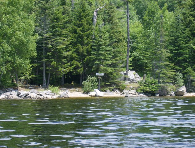
Griffin Island
Size of Tent Pads: 10x12 4-8x8
Distance to Office/Boat Landing: 4 ½ Miles to office, 3 miles to Haines landing
GPS Coordinates: 44 56'34.4"N
70 49'36.0"W
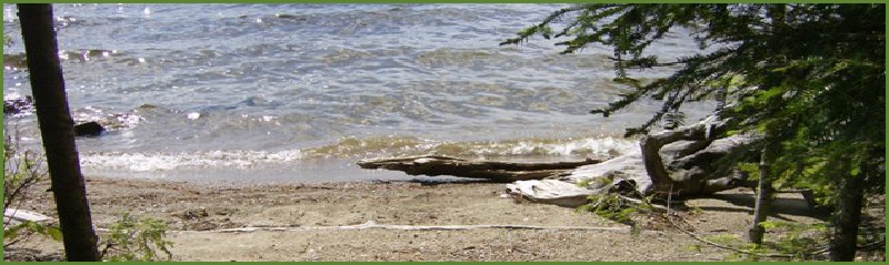
Shoreline: Rocky, shale
Boat Access: Be careful approaching from the south, watch for rocks a good 3-400 feet from shore. It is easier to approach from the west. It is difficult to land in front of the sign as there are many rocks, but there is an area free from large rocks to the right (about 50 feet) of the sign.
DO NOT attempt to approach from the south because there is a submerged reef that is located about 200 feet from Griffin Island that stretches from Lunch Island to just south of the campsite.
Description: This island only has one site. If you want privacy, you’ll get it. In addition, Griffin has views of the eastern, western, and southern shores, not to mention the Bemis range, Bald and Elephant Mountains, the Height of the Land and more. Griffin is a large open and grassy. With a very large protected fire pit.
Griffin Island
-13.JPG)
-14.JPG)
-12.JPG) Return to Campsites
Return to Campsites